

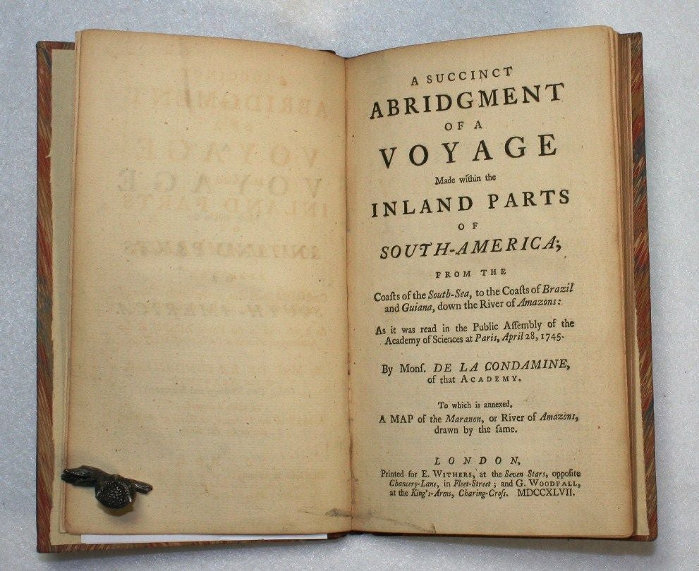
A Succinct Abridgment of a Voyage Made within the Inland Parts of South-America; from the Coasts of the South Sea, to the Coasts of Brazil and Guiana, down the River of Amazons...to Which is Annexed a Map of the Maranon, or River of Amazons
London: E. Withers, 1747.
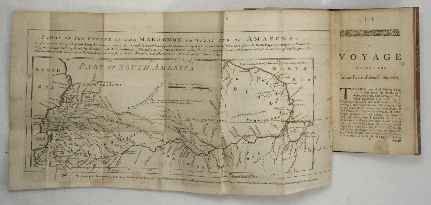
Hardcover. Near fine. First edition in English. 8vo, pp. xii, 108, with folding engraved map.xii, 108 pp. Modern quarter morocco and marbled boards, raised bands, red morocco lettering piece. Charles Marie de La Condamine (1701-1774), French explorer, geographer, and mathematician, spent ten years in present-day Ecuador. He arrived as part of a French scientific expedition to measure the length of a degree latitude at the equator in order to determine the shape of the earth. The calculations performed by expedition members demonstrated that the earth was flattened at the poles. La Condamine remained in South America after the work was completed, measuring the length of a degree latitude at the equator and preparing the first map of the Amazon region based on astronomical observations. The map in the present edition is: "A Map of the course of the Maragnon, or Great River of Amazons, as far as it is navigable from Jaen de Bracamoros to its, Mouth, Comprehending also the province of Quito, and the Coast of Guiana, from the North Cape to Essequeba. Drawn in 1743 and 1744, and regulated by Astronomical Observations." Field (353) notes that "this work purports to be an abridgment of his Relation, but it is a complete translation of the one published in France. The author abridged his manuscript, and published the narrative portion, omitting the statistical and scientific parts. He examined with care the condition of the Indians, and has some novel and interesting particulars of their languages." Hill 958; Sabin 38488.
Item #16791
Sold