
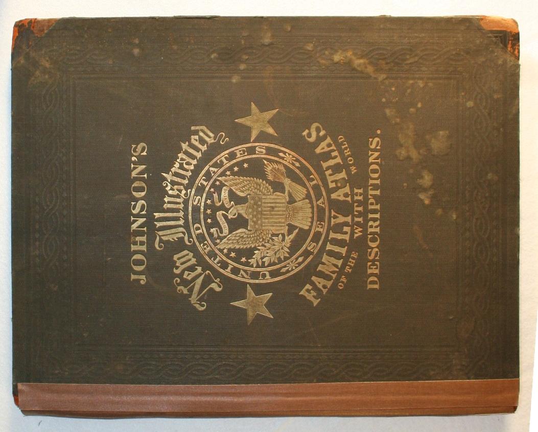
Johnson's New Illustrated (Steel Plate) Family Atlas, with Physical Geography, and with Descriptions Geographical, Statistical, and Historical, Including the Latest Federal Census, A Geographical Index, and a Chronological History of the Civil War in America
New York: Johnson and Ward, 1864.
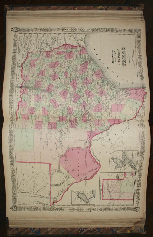
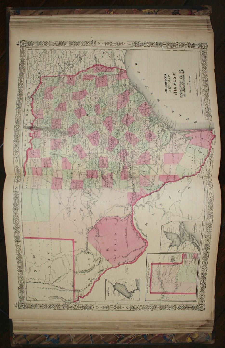
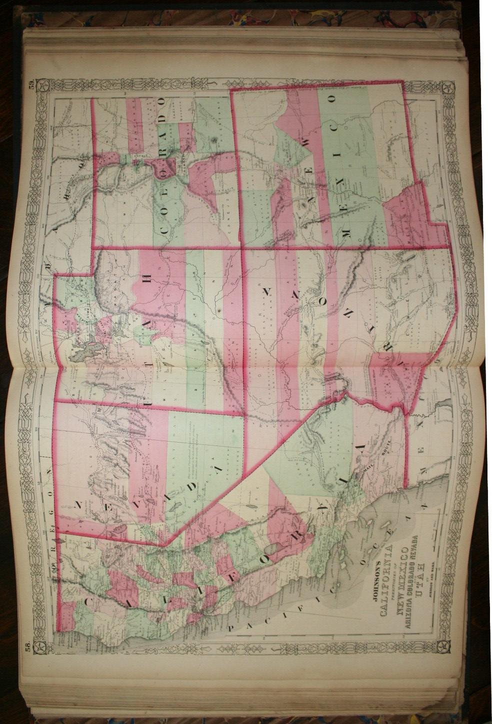
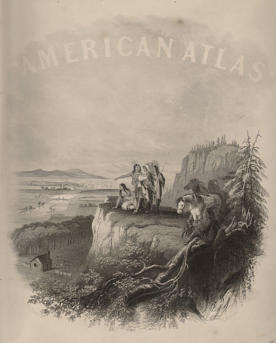
Hardcover. Good. 14.5" x 18", pp 105, [1] ad, engraved frontispiece, colored double-page chart of national emblems (not listed in table of plates), chart of mountains and rivers, time and distance indicator, and 95 colored maps (some inset, many double-page). Hinges cracked and boards nearly detached, spine covered in cloth tape. Text block tight, complete as issued, with all maps in very good condition. Emblem chart has soiling and marginal tears; mountains chart is loose; remainder of the volume quite clean and sound, with occasional smudging to the margins only. Good or better. A world atlas, about half of which is dedicated to maps of North America. Among the many maps of note in this edition are the New Military Map of the United States, showing forts and military posts and with inset maps of eight southern harbors); the double-page map of Texas, showing extensive development in the eastern part of the state and a wide open west; the map of California and the Territories of New Mexico, Arizona, Colorado, and Utah, which shows the U.S. Mail routes, emigrant routes to California, the Pony Express trail, and the proposed route of the Atlantic and Pacific Railroad; and the map of the Pacific Northwest, which shows the newly created territory of Idaho.
Item #14937
Sold