
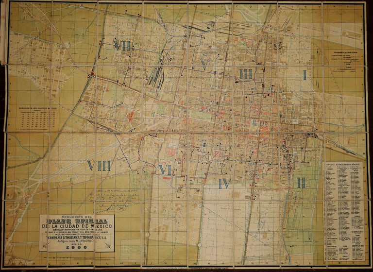
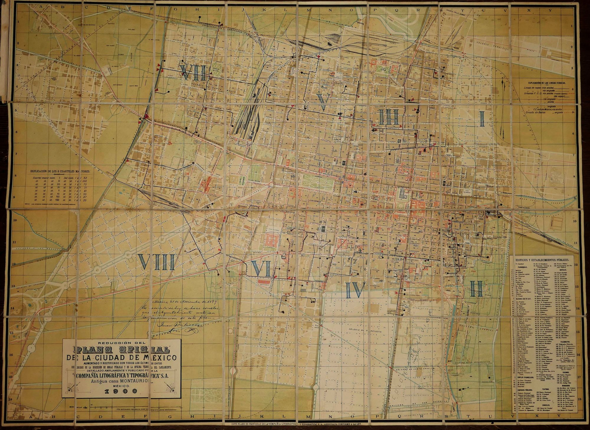
Reduccion del Plano Oficial de La Ciudad De Mexico. Aumentado y rectificado con todos lo ultimos datos recogidos de la Direccion de Obras Publicas y de la Oficina Tecnica del Saneamiento
Compania Litografica y Tipografica, 1900.
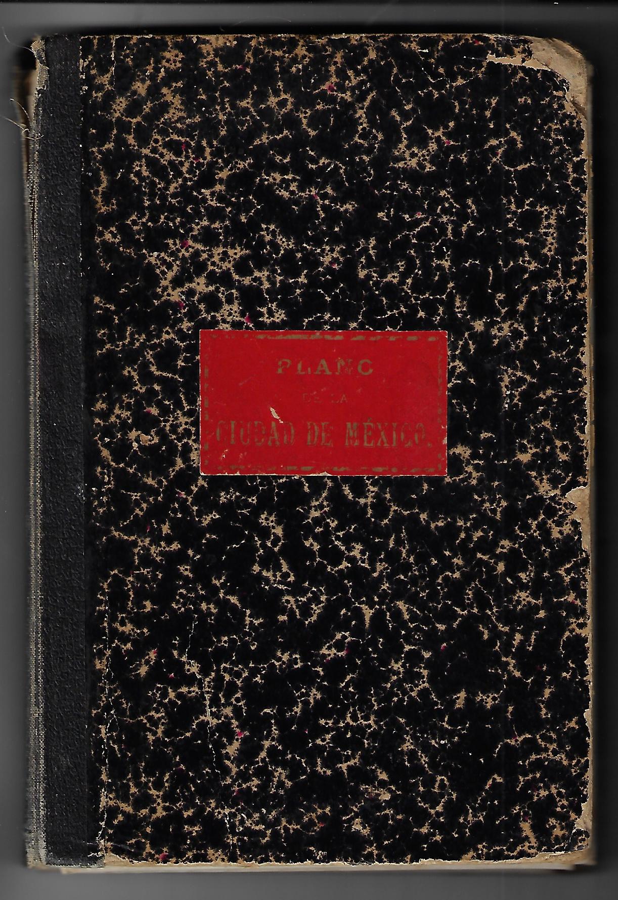
30.5 x 41 inches, mounted on linen and dissected into 32 sections, folding into marbled boards with mounted label. Sound wear to the boards and discoloration to the linen backing, but overall a very good example of this large, highly detailed map of Mexico City in 1900. In addition to the full identification of streets and rail lines, the key includes 194 sites, including dozens of churches and cathedrals, shops and markets, telegraph offices, hotels, theaters, and public buildings. A scarce map offering a comprehensive view of Mexico City at a time when modern systems of transportation and communication were just being developed.
Item #20630
Sold
See all items by MEXICO